Skip to content

WATERSHEDS

BIG FORK RIVER WATERSHED

The Big Fork River watershed, which covers 1,326,947 acres, flows 165 miles from Dora Lake (45 miles northeast of Bemidji in north-central Itasca County) to the Rainy River, which forms the Minnesota/Canadian border. This confluence is 16 miles west-southwest of International Falls. Nearly 60% of the watershed is land owned or managed by the state. 

BIG FORK NEWS & EVENTS

December 15, 2020 Public meeting recording available here!

MINNESOTA POLLUTION CONTROL AGENCY (MPCA) REPORTS

MN DEPARTMENT OF NATURAL RESOURCES WATERSHED HEALTH ASSESSMENT FRAMEWORK

Since 2013, the Itasca and Koochiching Soil & Water Conservation Districts (SWCDs) have been partnering with the Minnesota Pollution Control Agency (MPCA) to work with local officials and citizens to ensure the health of the Big Fork River Watershed. The map above shows the findings of the Monitoring and Asssessment Report, where red is "impaired" and green is marked for protection sites (not yet impaired, but close). All impaired stream sites have been postoned for natural causes.
DNR State Water Trail Guide to the Big Fork River

NATURAL RESOURCES CONSERVATION SERVICE (NRCS) REPORTS

SUMMARY OF MONITORING AND ASSESSMENT IN THE BIG FORK RIVER WATERSHED

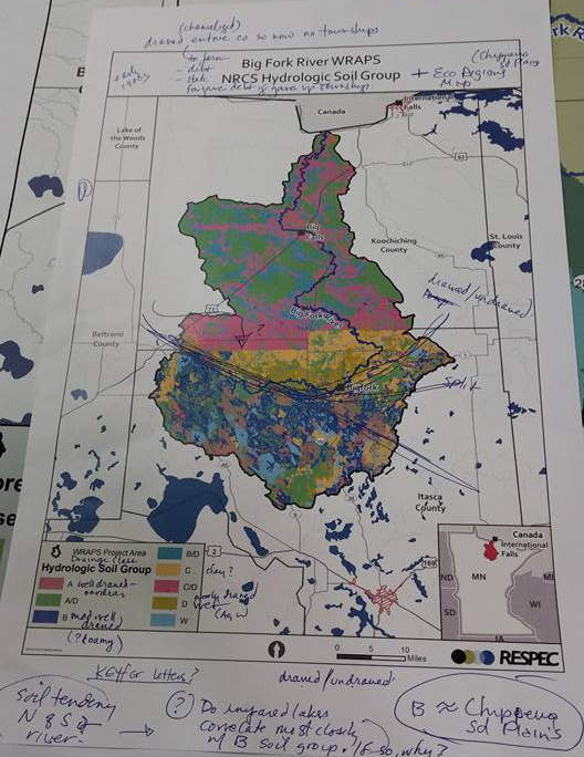
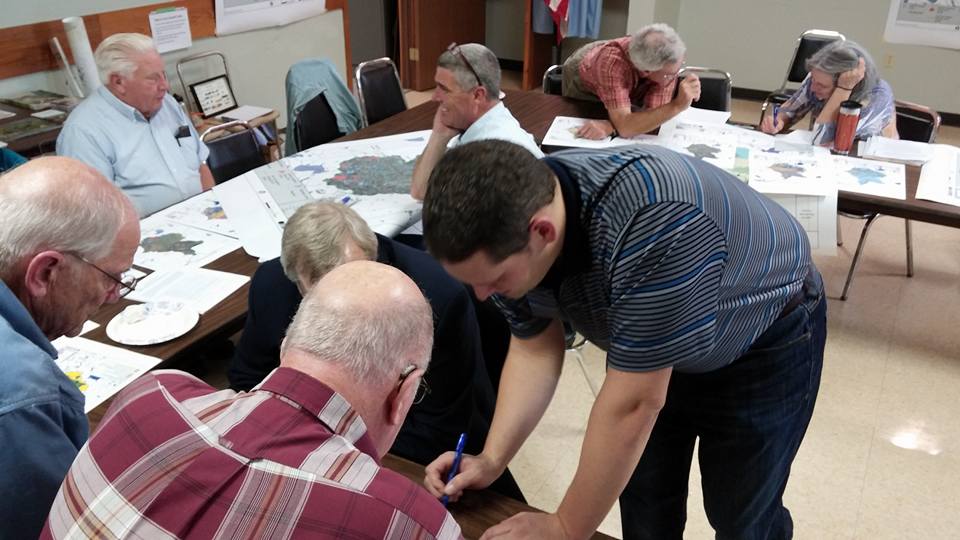
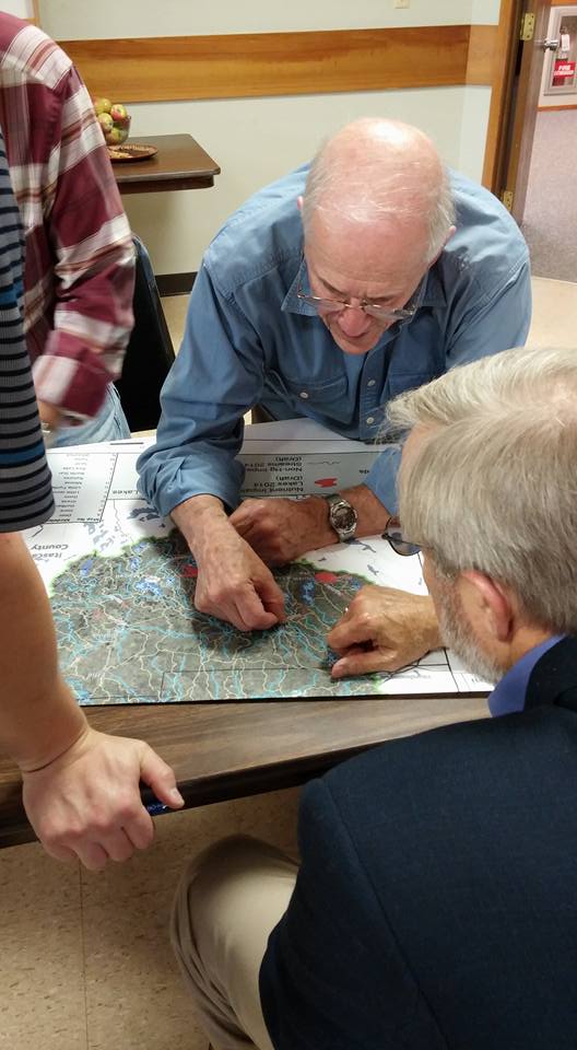
Intensive watershed monitoring began in the Big Fork watershed in 2010. Local citizens, collaborating with Soil and Water Conservation Districts of Itasca and Koochiching Counties, Itasca Community College, Itasca Water Legacy Partnership, Big Fork River Board and the state’s Department of Natural Resources and Pollution Control Agency are working to improve and protect its waters. Limited land uses for industry, housing, and roads have led to high water quality in the Big Fork system, however challenges remain in maintaining this high quality water.

KEY ISSUES

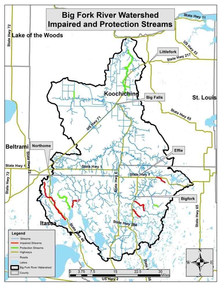
The identified impairments found in lakes and streams are:

• High levels of mercury in fish tissue which limit fish consumption; • Nutrient impairments;

• Low dissolved oxygen in streams, which may be due to natural causes; and,

• Biological impairments for fish and aquatic macroinvertebrates.

HIGHLIGHTS

• The Big Fork River and 12 lakes were found to have fish with measurable levels of mercury.

• Fish tested for PCBs (polychlorinated biphenyls) and/or PFOS (perfluorooctane sulfonate) had concentrations below the impairment threshold or detection limit.

• Eleven large streams or stream segments were assessed for aquatic recreation; all had low levels of bacteria and were fully supporting aquatic recreation.

• Low oxygen levels in the Upper Bowstring River and Gale Brook/Rive River sub-watersheds likely due to natural causes or conditions.

• Non-support for invertebrates in the Middle Big Fork sub-watershed. • Non-support for fish and invertebrates in the Bear River sub-watershed.

• Dinner Creek sub-watershed is in need of further study to clarify the cold water or warm water classification.

• Based on monitoring the amount and types of fish and invertebrates found in the streams of the watershed, 33 of the 41 streams assessed supported aquatic life, six did not support the aquatic life, and two streams did not have enough information to make an assessment.

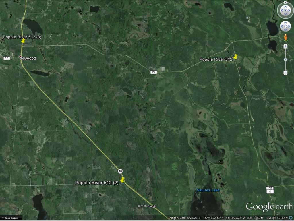
Twelve stream stations were sampled for biology and chemistry. These locations included the outlets of major tributaries such as the Bowstring, Popple, Sturgeon, Dinner Creek, Bear River and Caldwell Creek. In addition, local partners and the MPCA sampled 120 lakes in the Big Fork River watershed; of those, all but six met lake standards for aquatic recreation. In 2012, a holistic approach was taken to assess this data from streams and lakes in the watershed to see if they support aquatic life, recreation and fish consumption. During this process, some stream segments were not assessed due to insufficient data sets and modified stream channels.

This work will be re-visited in 2020.


Jessie Lake has a TMDL process for excess nutrients, completed in 2011.

Island Lake also has a TMDL currently in progress and is expected to be completed in 2017.


WATERSHED POLLUTANT LOAD NETWORK

The sites shown will be sampled between 2016-2017.

The Watershed Pollutant Load Monitoring Network (WPLMN) measures and compares data on pollutant loads from Minnesota’s rivers and streams and tracks water quality trends. WPLMN data will be used to assist with assessing impaired waters, watershed modeling, determining pollutant source contributions, developing watershed and water quality reports, and measuring the effectiveness of water quality restoration efforts.

This long-term program utilizes state and federal agencies, Metropolitan Council Environmental Services, state universities, and local partners to collect data on water quality and flow to calculate pollutant loads.

Koochiching SWCD began monitoring for this program in 2012 with 4 sites between the Little Fork River and Big Fork River and has now expanded to 6 sites which now includes the Rat Root River.

SITE SPECIFIC MONITORING (POPPLE RIVER)

Popple River Sampling Sites

During the summer of 2017, Koochiching SWCD will be taking dissolved oxygen (oxygen molecules in the water) samples in 3 locations on the Popple River.

Like the air we breathe, the survival of aquatic life depends on a sufficient level of oxygen dissolved in water. When it drops below levels necessary for sustaining aquatic life, it becomes a significant water quality impairment, often referred to as low dissolved oxygen (DO).

Koochiching SWCD will deploy equipment to continuously monitor dissolved oxygen levels throughout the open water season of 2017.

Public Civic Engagement events began in 2013 in the Big Fork River Watershed.  Various types of events were offered to allow the public as many opportunities as possible to obtain information on the WRAPS process and to provide valuable local feedback which was used in the final plans for upcoming restoration and protection.

Civic engagement is not packaged into specific years, but is an ongoing process.  To provide comment at ANY time, please see the contacts section of this page to connect with local staff who can offer assistance.


CHECK BACK SOON FOR PREVIOUS CIVIC ENGAGEMENT EVENT INFORMATION!

JOLEN SIMON

Program Coordinator
218-283-1180
jolen.simon@co.koochiching.mn.us

MATT GUTZMANN

Water Resources Specialist
218-999-4435
matt.gutzmann@itascaswcd.org

MIKE KENNEDY

Project Manager
218-302-6629
mike.kennedy@state.mn.us